The thing about a century ride (100 miles) is that it takes a while, even under the best conditions. On this particular morning we had a 104 mile route with 12,095 foot Independence Pass somewhere in the middle of it. Knowing that taking a lot of pictures, and, oh yes, the ride, would take me a good part of the day, I was up early eating breakfast in the dark, and on the road by 6:00am. Even after the sun was up, it was behind a ridge, and the road was in the shadows for the first hour. It was also cold, uphill, and into a headwind. Other than that, it was perfect. Mt Yale, Mt Oxford, and the rest of the Collegiate Peaks range were our companions all morning.


After the first 20 miles we had an aid station just before we turned off of US 24 and onto CO 82 toward Twin Lakes. I met up with Bud, Dan and Janie and we road west with the sun on our backs. We had another 10 miles of gradual uphill before the real climbing began. The scenery was awesome and unlike the last time I rode through Twin Lakes, it wasn't in a pouring rain.
I was passed by a lot of riders intent on getting to the summit as fast as possible, and I was trying to make sure I could get off the pass before afternoon storms rolled in, but I still stopped for pictures because the surroundings were breathtaking.
After the second aid station we only had about 5 miles to reach the summit, but still almost 2800 feet of elevation to gain. You have to earn the summit, but the views of the road below as you go through the switchbacks let you know you're making progress, and it's worth it. On the final switchback we were reminded that the pros would follow us on these same roads in a couple weeks as Cadel, Frank, and Andy had their names painted onto the blacktop. Pretty cool.
Finally, about 6 hours after my ride had begun, I made it out of the last switchback and to the top of Independence Pass. We took pictures in front of the elevation sign, and walked out to the overlook for more photo opportunities, visiting with other tourists, who were a little in awe of anyone who could get to that point on a bike, even if it took me all morning.
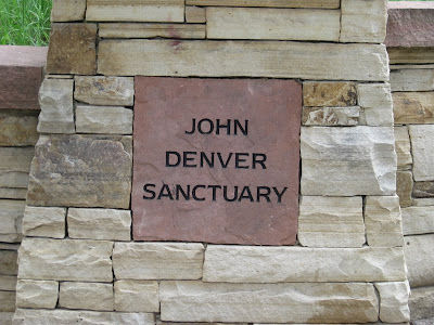
Rough roads and subsequent road repairs slowed our descent off the mountain, but gave us time to stop for a picture of the ghost town of Independence for which the pass is named. Then it was on down and into Aspen, where we stopped for a snack, and to visit the John Denver Sanctuary before the last leg of our ride.


Most of the last leg was on the bike path between Aspen and Glenwood Springs. Part of it was dirt, which was kind of dicey when I went around a corner too fast and couldn't stay on the path. Running through a few feet of grass and weeds before jumping onto the road gave me a new appreciation for some of Lance's moves. Back on the trail we took advantage of trending downhill to keep our speed near 20 mph without working too hard, anxious to get to camp and out of the hot afternoon sun. I still had water in my bottles from the last aid station 30 miles from the finish, but it was the temperature of hot tea. A convenience store 1/2 mile from the school offered a cold drink and a snack before we rolled in with 106 miles on the computer. The four of us who rode together most of the day walked downtown for dinner at the Italian Underground. It was a good dinner with great people, an appropriate ending to a spectacular day!


Jeff, you make it sound fun. But I know it would be grueling, hard work, not the lark it sounds like! Wow, gorgeous.
ReplyDelete